Coordinating drones across linear infrastructure?
Speak with Dronecloud about contractor workflows, single-platform drone operations, and accelerating approvals across the strategic road network.
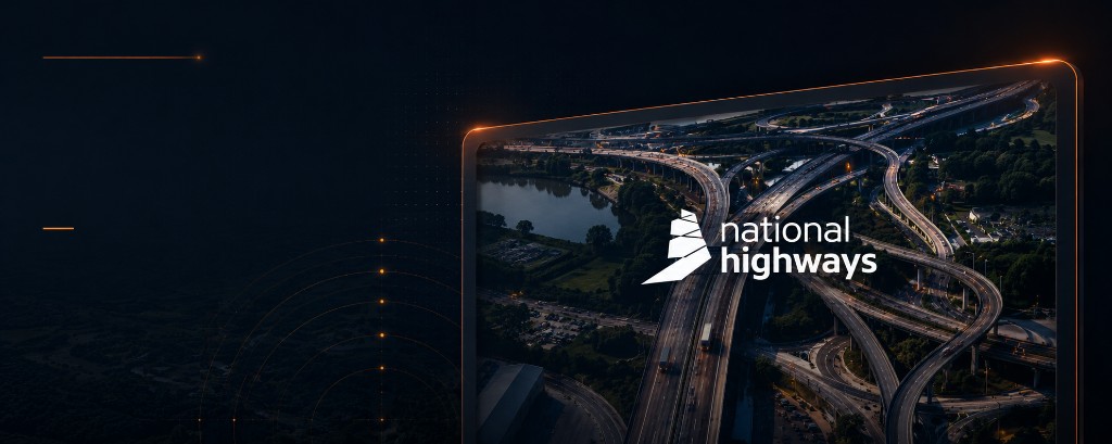
Like Network Rail, National Highways manage thousands of miles of linear infrastructure that require around-the-clock oversight — Dronecloud gives them a single operational view of every drone flight across the strategic road network.
Speak with Dronecloud about contractor workflows, single-platform drone operations, and accelerating approvals across the strategic road network.